- Tutor/s Dipak Samal | Jyothi Gupta
- TA Ashishkumar Upadhyay
- Code GE4001
- Faculty Technology
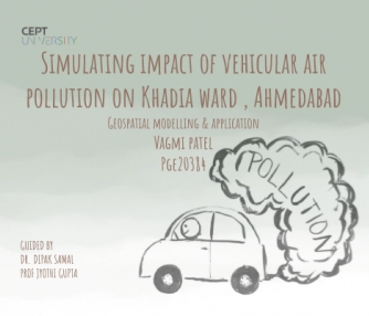
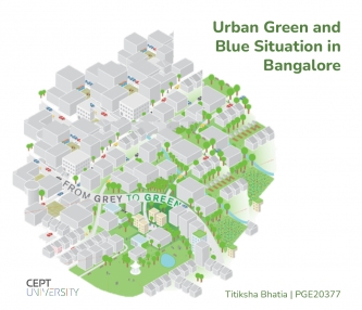
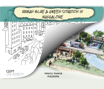
The studio is designed to provide a platform to work with geospatial models. The geospatial models are useful to reconstruct the real-world spatial phenomena with respect to present, past, and future scenarios. Several types of models, methods, and approaches to spatial modeling will be reviewed and a suitable model will be selected for studio activities. In the due course, students will learn the working principles of Geospatial modeling, input data preparation, model calibration, validation, evaluation, sensitivity, and uncertainty analysis. In a given situation, the model structure and underplaying assumptions would be modified through coding to suit the study undertaken. The modeling studies may be pertaining to urban flooding, urban sprawl expansion, air quality assessment, urban heat island, land use and land cover, urban green space modeling, etc. Also, an attempt will be made to find answers to the real-world problem through different scenarios based studies. The applications of the modeling activities would be taken up for deeper understanding and implementation on the ground.
