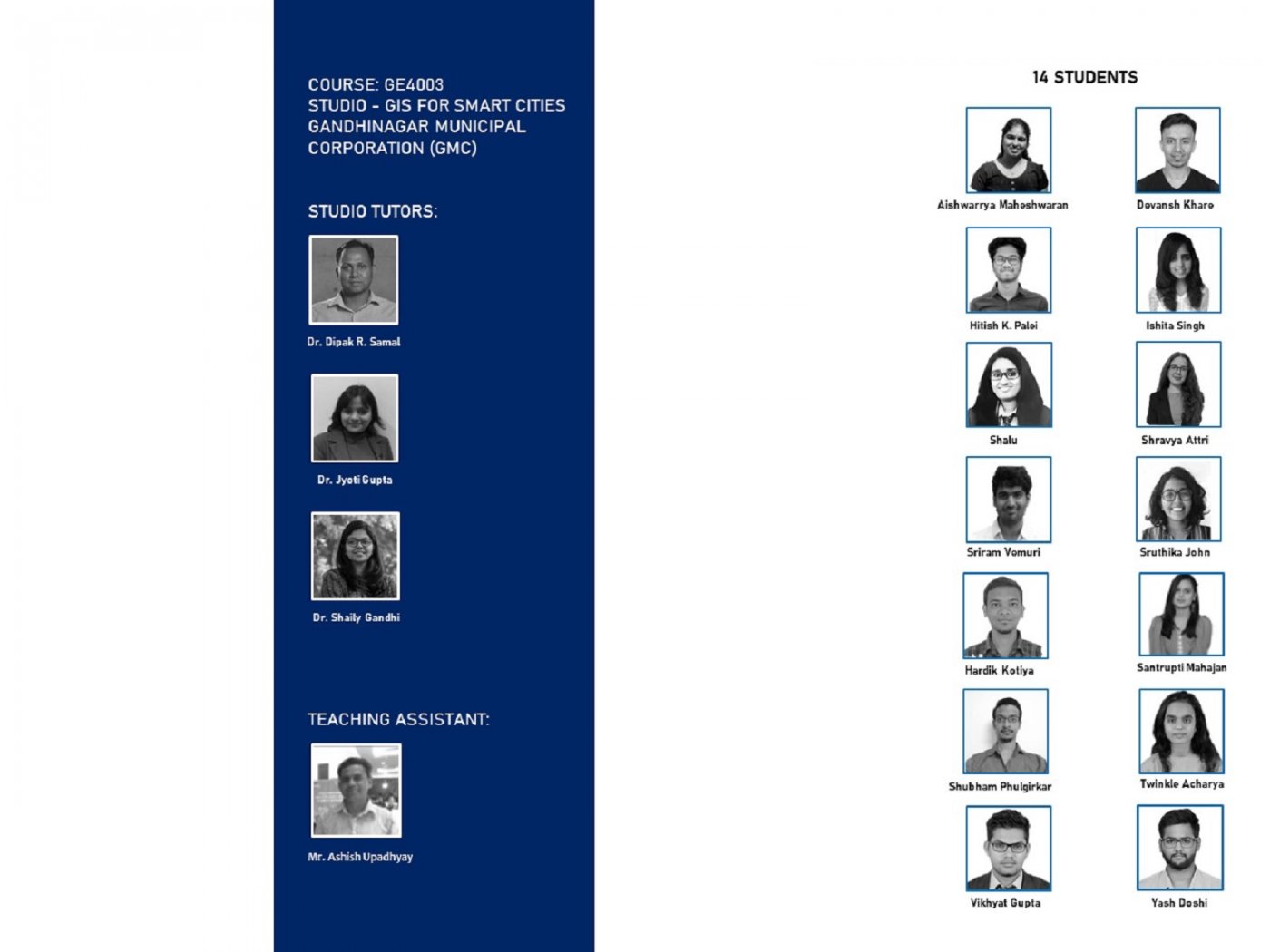
- Tutor/s Shaily Gandhi | Dipak Samal | Jyothi Gupta
- TA Ashishkumar Upadhyay
- Code GE4003
- Faculty Technology
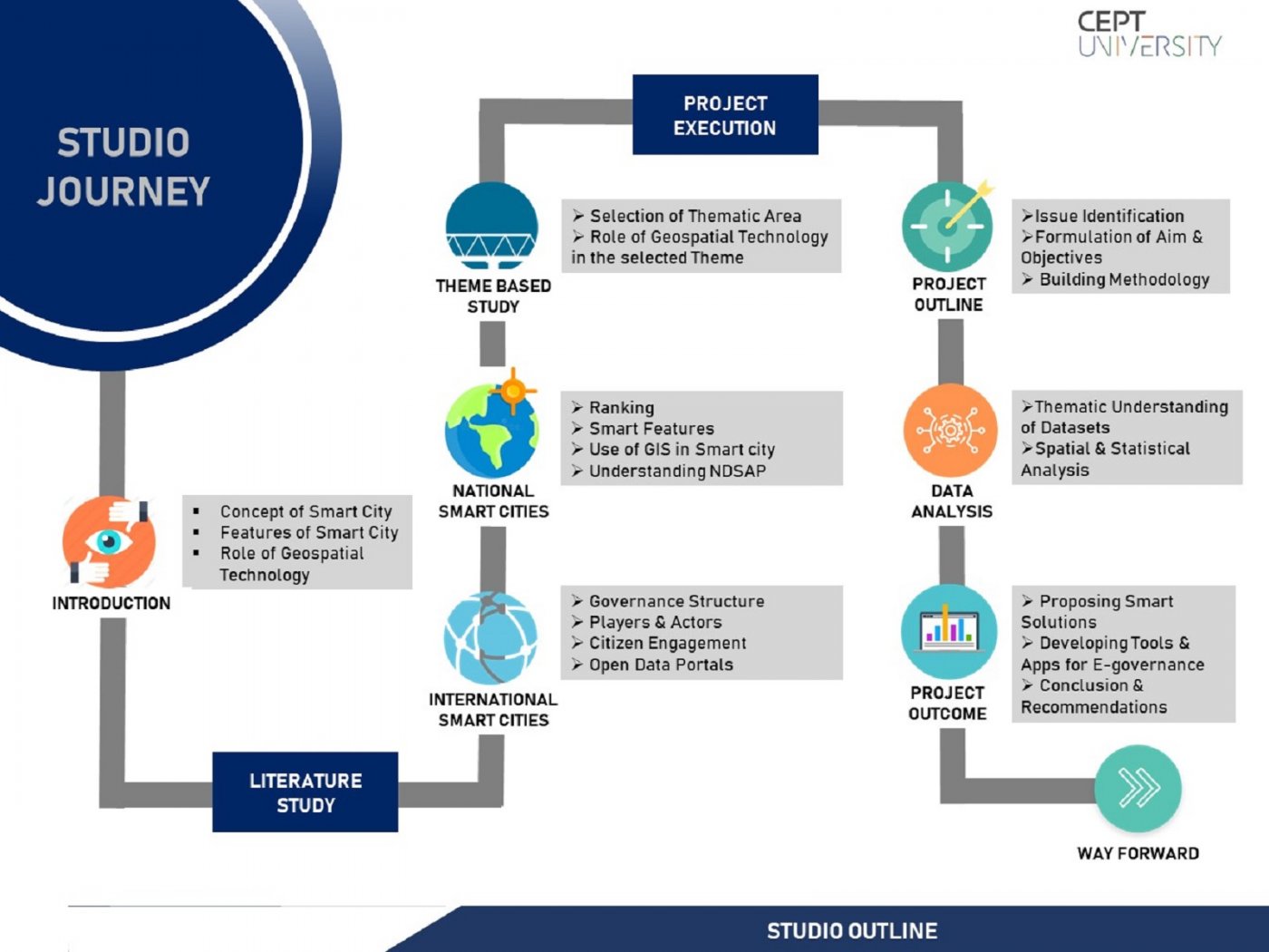
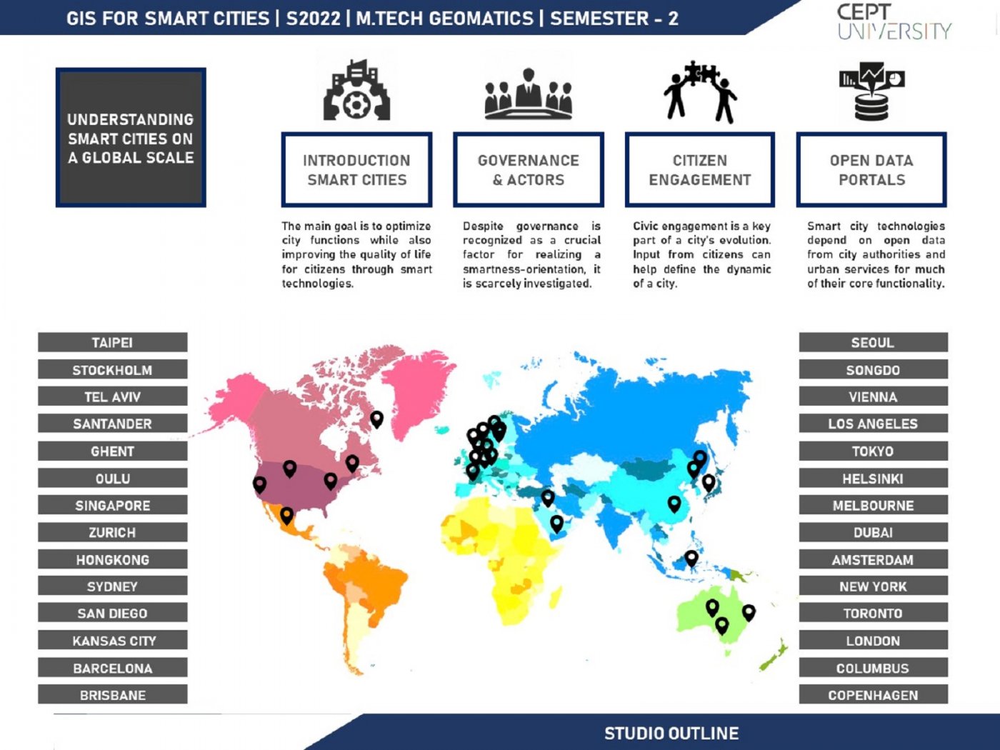
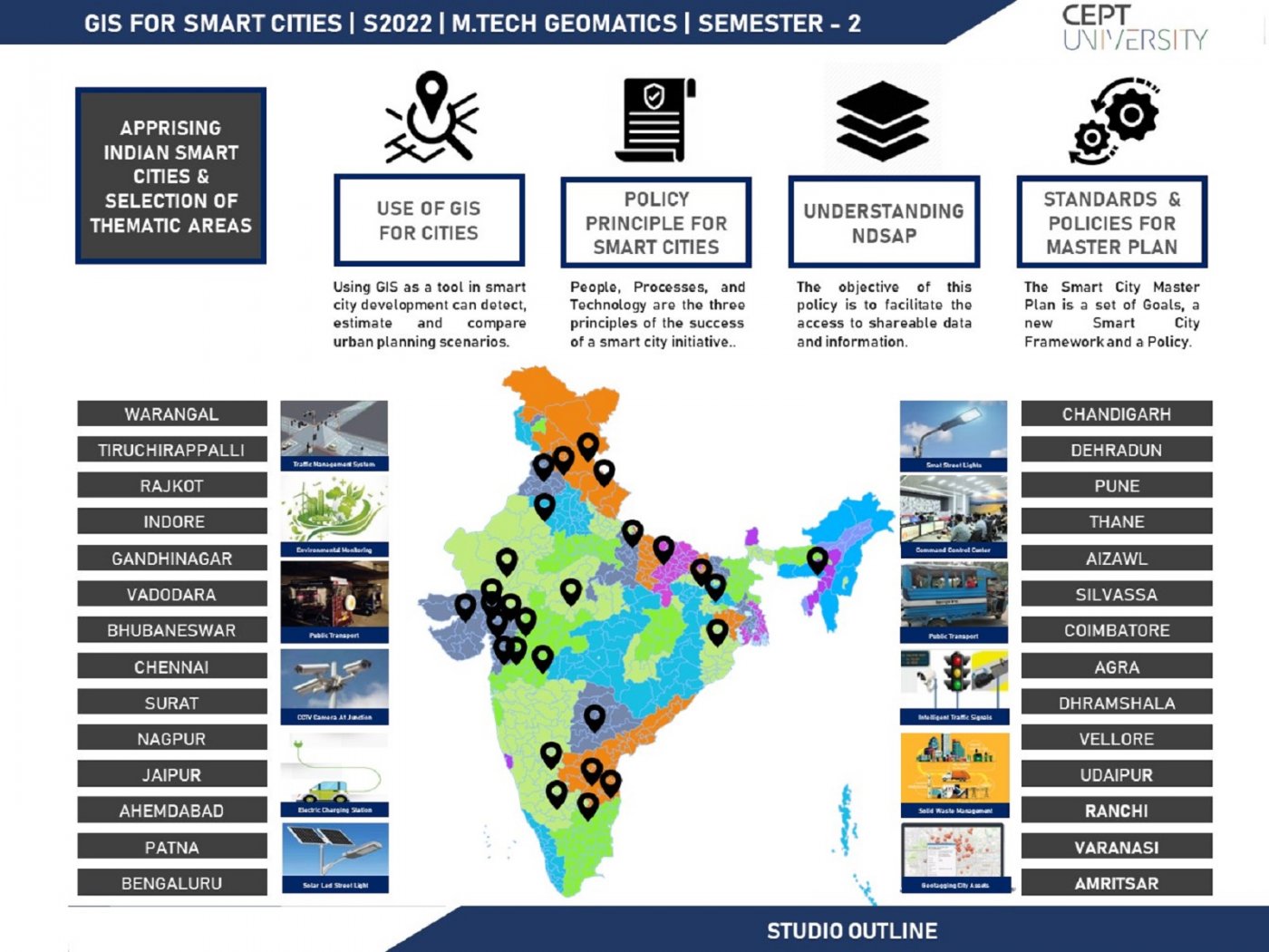
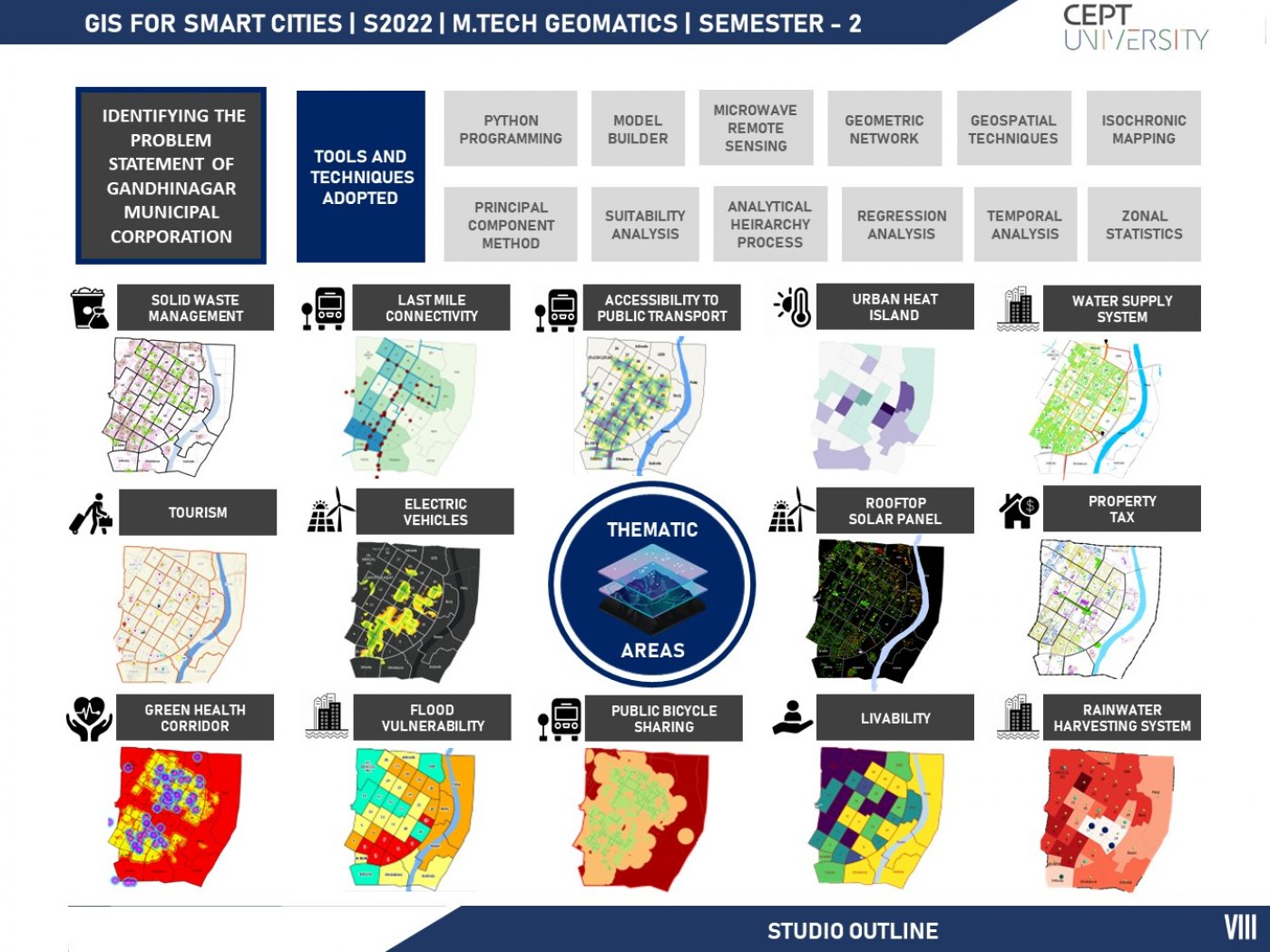
This studio is designed with a focus on applying geospatial technology for building smart cities. The purpose of smart cities is to drive economic growth and improve the quality of life of people by enabling local area development and harnessing technology, especially technology that leads to smart outcomes. Specifically, the emphasis would be on the use of spatial datasets, tools, and techniques for providing geospatial solutions to smart city problems/issues/challenges. Decision-making through spatial analysis using vector and raster-based data models, model building, computer programming would be attempted for a smart city in India. Also, several thematic areas, such as transportation, infrastructure, water supply, property tax information, waste management etc. will be taken in national and international scenarios for demonstrating the use of geospatial technology toward providing a smart solution. As a part of the studio, several interactions with city officials and planners will be carried out to identify and understand the challenges towards building a smart city and the capabilities of geospatial technology to address the challenges in a holistic manner.

